This is a walk we did twice in two days as we didn't have time to get to the highest lookout the first time round. It's around 8 kilometres and took us about 4.5 hours all in We had booked for a three night stay at the WILPENA POUND RESORT to celebrate my 60th birthday and as we had a couple of free hours in the afternoon of the 9th, we decided to take the short walk to the Hill's Homestead for a look around. While there we headed up to the first Wangarra lookout before having to get back to base as we were going on a sunset tour that evening. Wilpena Pound is in the IKARA-FLINDERS RANGES NATIONAL PARK in SOUTH AUSTRALIA and is currently in the throws of a four year drought that doesn't look like ending anytime soon. A couple of days earlier, we stayed at another station about half an hour away at RAWNSEY PARK, just outside the National Park, where we did another great walk in hot dusty conditions where They both suffer from the same dry & dusty conditions. CLICK HERE
There is a contrasting difference between the two Stations we stayed at, with Rawnsey being set in more of a bush setting with a lot more open space, where as Wilpena is in the the midst of more Gum Trees, rock faces and surrounded on all side by mountain ranges.
This is taken from Wikipedia; "Although from the outside the Pound appears as a single range of
mountains, it is actually two: one on the western edge, and one on the
eastern, joined by the long Rawnsley's Bluff at the south. A gorge
called Wilpena Gap has been cut in the eastern range, and most of the
inside of the Pound drains into Wilpena Creek which exits through the
Gap. A small part of the high northern slopes of the Pound drains into
Edeowie Creek, which drains in time of flood over steep cliffs and
waterfalls in Edeowie Gorge to the north.
The highest peak in the Pound, also the highest of the Flinders Ranges, is St Mary Peak (1171m),[1]
on the north-eastern side. To the south of the Gap on the eastern side,
the highest peak is Point Bonney (1133m). On the north-western side of
the Pound, the highest point is Pompey's Pillar (1165m), and Rawnsley's
Bluff (950m) at the southern end is the other major summit.
The wall of mountains almost completely encircles the gently-sloping
interior of the Pound, with the only breaks being the gorge at Wilpena
Gap and a high saddle in the south-western range over which the Heysen Trail
passes. This latter saddle is called Bridle Gap, supposedly because
it's the only place other than the gorge where a skilled horseman might
ride into the Pound. The interior of the Pound does not rise to a height
at the northern edge, but instead simply drops off very steeply to the
plain below in a series of steep gullies."
We set off from our cabin along the well defined track through the Pound Gap, following the very dry Wilpena Creek through tall river red gums and pines. The creek is full of old trees that were brought down by the last fires and storms over four years ago and bears resemblance to what mother nature can throw at you. A lot of the Gum trees still bear the scars of the fires and you certainly get a feel of how scary it must be in times of the fires and storms when looking at all the damage. Fortunately for us, this walk was done in good fine weather with a breeze blowing, keeping the temperature at a respectable level. Following the creek takes you past a water hole that has a natural spring flowing, the only water for miles around and one that attracts a lot of interest from the birds, insects and other animals that frequent the area. There are quite a few information boards around the Pound about the creatures out here and how they are being helped out in the BOUNCEBACK PROJECT
Our base for the duration of our stay at Wilpena
Following the dry Wilpena Creek along Pound Gap
Information board with the creek full of old Gum & Pine Trees behind
Creek full of fallen trees
A burnt out tree still carrying on
On the broad Wilpena Gap track along Wilpena Creek
Part flooded track from the waterhole
Wilpena Creek waterhole
Burnt out Gum Trees
Taking the right hand path at the junction
At the Goann's Guest Book sign, the path splits into two, the high path which we came down and the low path carrying on under Sliding Rock beside the dry creek, before passing over it by means of a boardwalk. Although there are plenty of birds knocking about, it was fairly quiet walking through the trees with only a bit of birdsong. It was the middle of the afternoon and quite warm so they were probably being sensible and keeping out of the heat, saving there energy, not like us crazy brits going out at the warmest time of day :-) We did come across some Kangaroos, Feral Goats, a Goanna and Emus but no Snakes or Echidnas that roam the area, although we did keep a sharp look out for any snakes especially passing the rock formations. Most of the Emus & Goats were at the Hill's Homestead picnic area that we came to after crossing a bridge and climbing some steps. It was hotting up by now as we were out of the breeze and the intake of water was very refreshing. A look round the picnic and toilet area and the stone Adnyamathanha sculpture, where you can read about the original inhabitants of
the cottage and their struggles with the harsh Australian conditions.
Going under Sliding Rock
Boardwalk over the creek
Steps leading up to Hills Homestead
Bridge over the creek
On the approach to Hills Homestead
Emu's Emu's everywhere
Female Goats with kids
Goanna
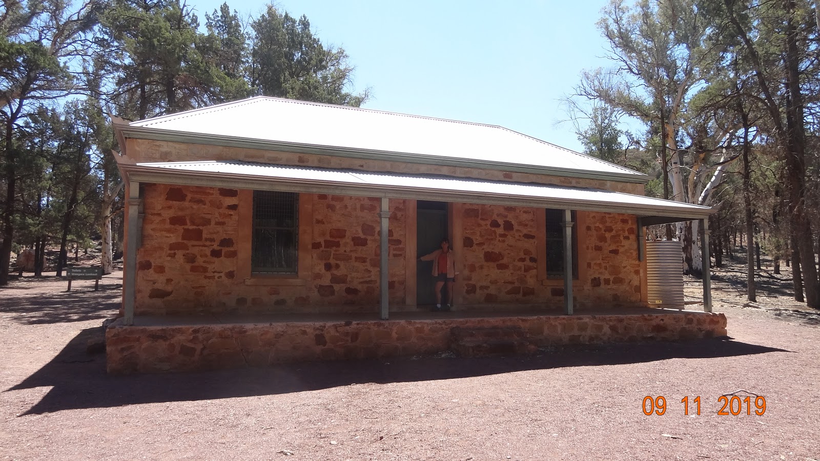
Hills Homestead
Hills Homestead
Adnyamathanha sculpture pointing towards Wangarra Lookout
From here it's an easy 200 meter climb up to the first lookout that provides some great views across Wilpena Pound to the surrounding ranges. You really get a good feel of the unique place this is and also how harsh it can be in this weather year after year. Green pine trees in amongst all the red surrounding hills. A fascinating scene laid out before us.
Climb to the lower lookout
Wangarra lower lookout
View of Wilpena Pound
View of Wilpena Pound
As I mentioned earlier, we made our way back to basecamp from here as time was short so we didn't make the top lookout on this day but came back the next day to complete it so the next photo's are from the 10th November and it's still a warm and sunny day :-)
The climb up to the top lookout is up through bush, scrub and a more rocky track rather than any large trees and a dusty track. It's another 500metre climb but once at the top you are rewarded with some fine views making the effort very worthwhile.
On to the Higher lookout
Approaching Wangarra higher lookout
Birthday celebrations on Wangarra lookout
View from the lookout
View of the inside of Wilpena Pound from the lookout
View of the inside of Wilpena Pound from the lookout
View of the inside of Wilpena Pound from the lookout
After staying up here for about forty minutes, admiring the views and having a bite to eat, we made our way back down. This is a linear walk but there is an option to take the higher dirt road which climbs above Sliding Rock. We did this on the 9th so I'll include some photo's from that day. We did manage to see some of the mountain goats that had come down from Mount Ohlssen Bagge to get a cooling drink from the spring fed creek. We also spotted a skink, kookaburra and kangaroos.
Skink
Feral mountain goats
Feral mountain goats
Kookaburra
Taking the top track
Along the top track
Along the top track
Looking up to Mount Ohissen Bagge
Joining the main Wilpena Gap track
Following the creek back to base on the 10th, I had a wander around the rest of the pound looking at the fire damaged trees and also taking in some more of the information boards of the Bounceback Project
Burnt out Gum Tree
Getting back in to Wilpena Pound
A joey having a refreshing drink :-)
Burnt out Gum Tree
Wilpena Creek
Burnt out Gum Tree
Burnt out Gum Tree
Another fascinating walk in this remarkable place. Walking around and seeing the destruction of the last big fires and floods is hard to imagine and must be a scary sight for all. A great experience to have a good look round this harsh landscape that is crying out for rain.
Below is the video of our scenic flight over Wilpena Pound.
There is some information about some of the walking track closures that can be found HERE
Cheers